King Alfred's Way: Day 4
Haslemere to Reading
Last day! It had suddenly gone very quickly and I didn’t want it to end. South Downs Way meant it was going to be a pretty full on day of climbing though. Starting with making up some of the elevation I’d lost by going into Haslemere.
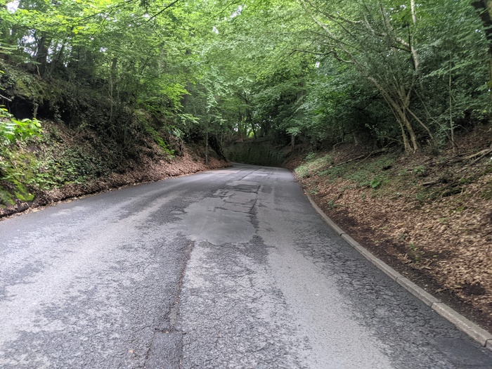
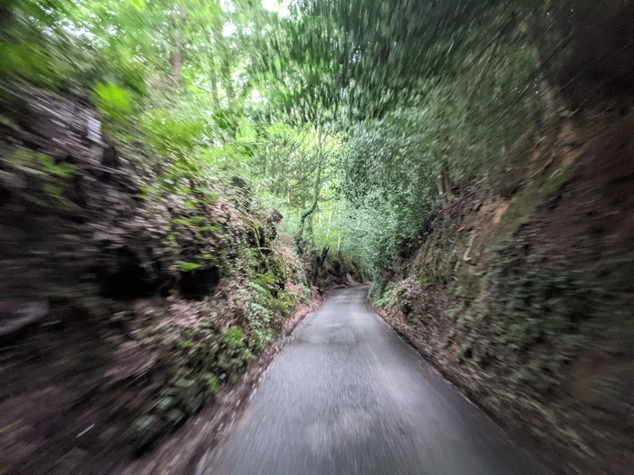
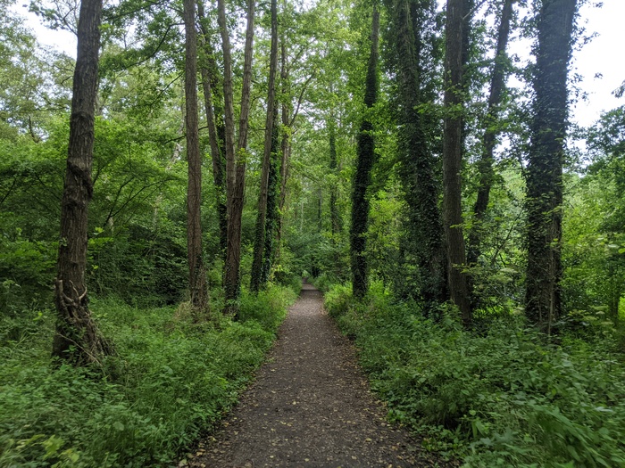
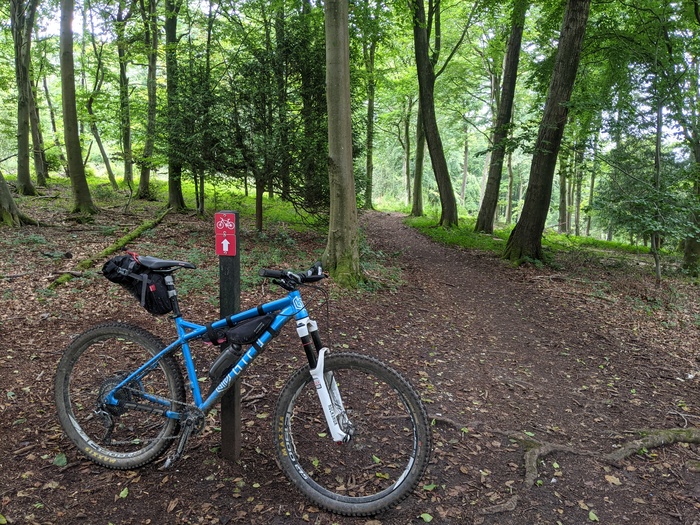
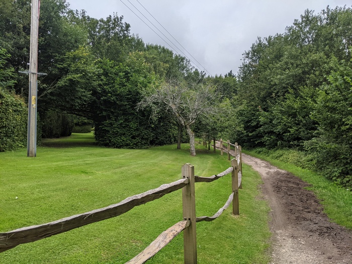
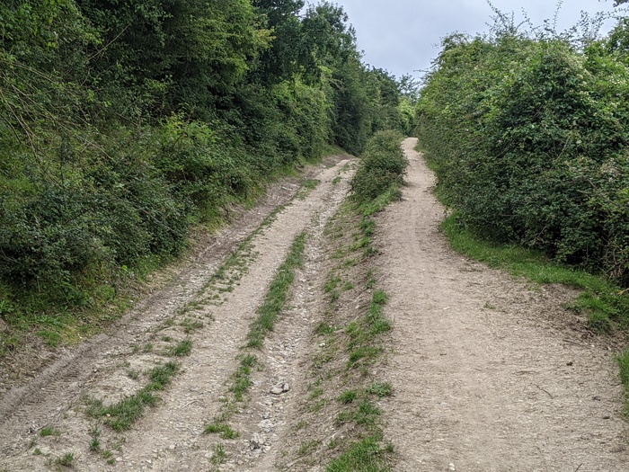
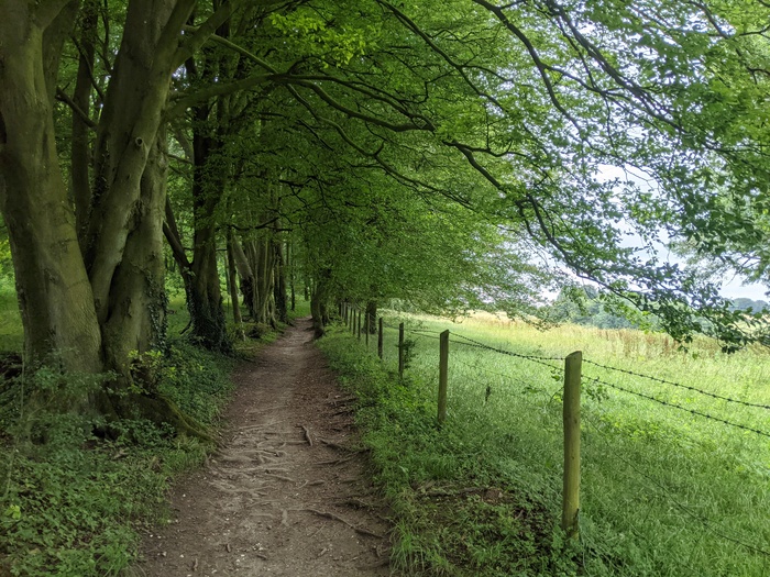
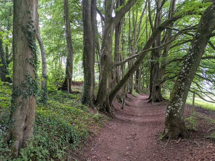
I picked the official route back up at Bramshott Common, which meant that I avoided the path alongside the A3. These loamy woodland tracks were exactly my kind of riding.
Then a fast descent down into Bramshott itself. The bridleway off Rectory Road was the only place that I got temporarily lost on the whole route. I’d overshot the corner slightly and could only see a private driveway where GPS wanted me to go. Eventually backtracking a whole 5 metres unveiled where I was meant to go. I encountered two horse riders at the very bottom, which was fortunate because it would have been easy to startle and difficult to pass them on the bridleway.
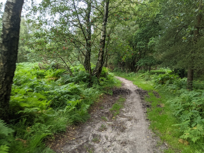
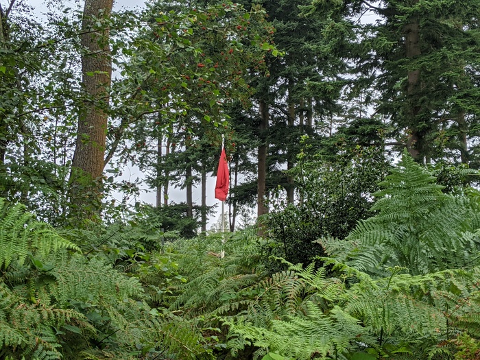
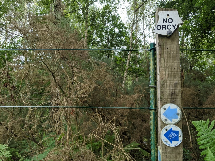
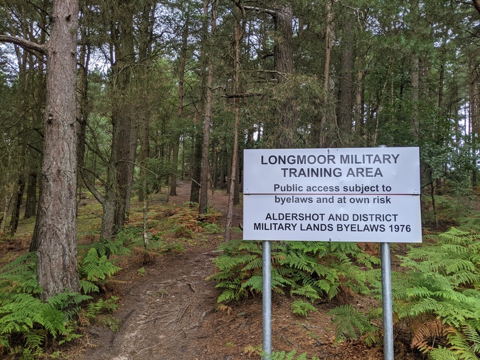
Round the edge of Woolmer Ranges, where the red flags were flying and “ORCY” is not permitted.
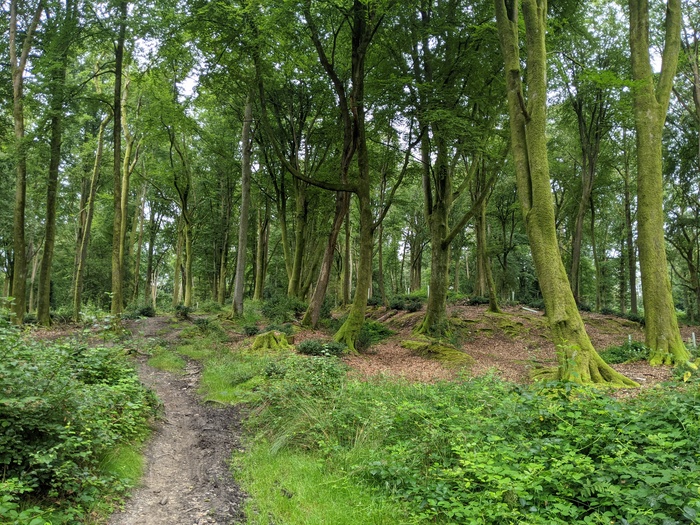
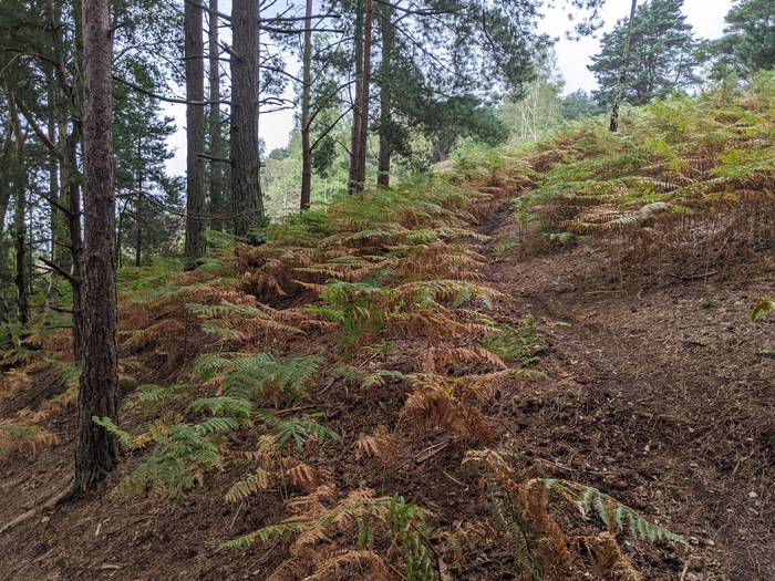
The loam, roots, and heather on Longmoor Ranges also felt pleasantly familiar. I’d like to come back and explore more of here sometime.
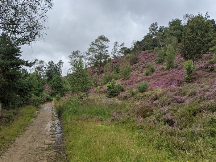
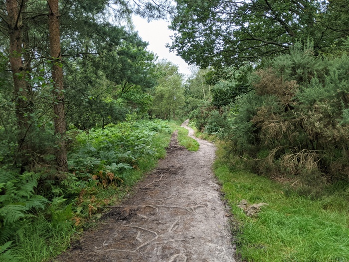
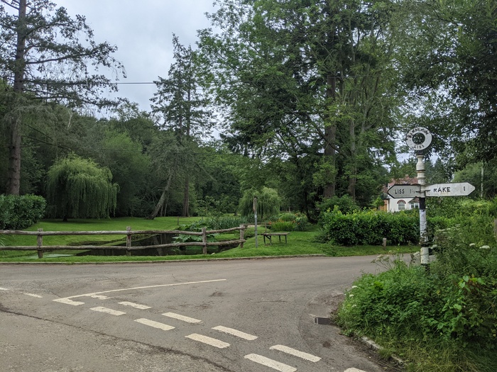
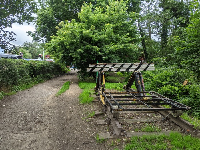
There was a change of scenery coming into Liss and along the old Longmoor Military Railway.
And a change again as I got closer to the South Downs Way.
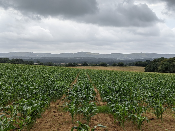
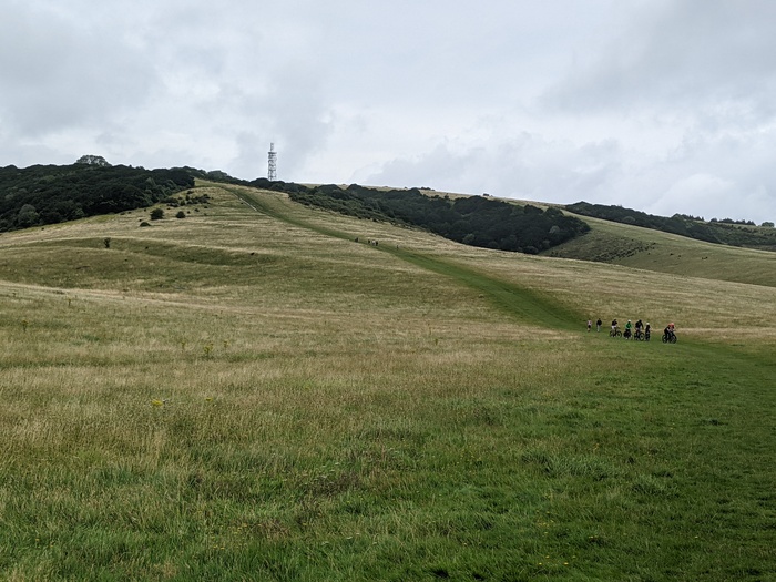
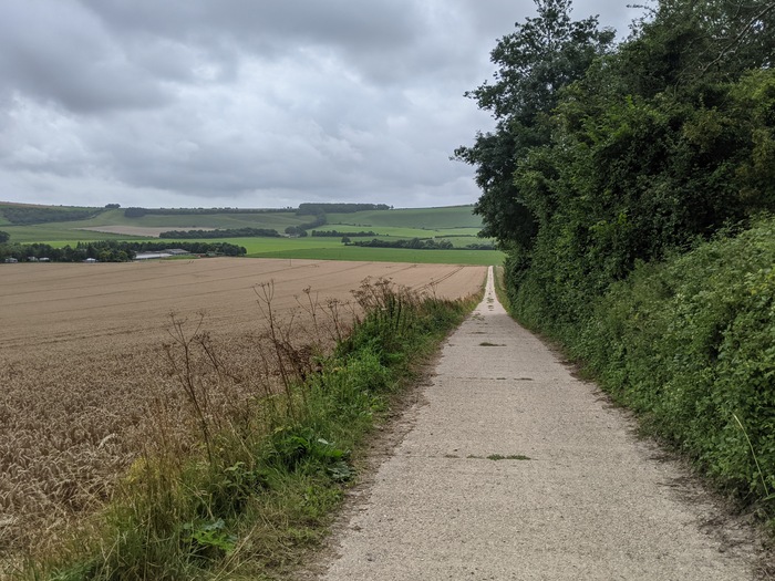
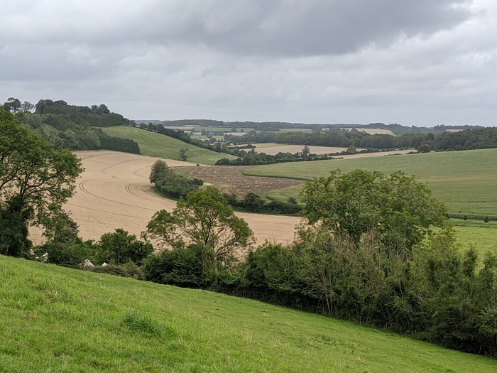
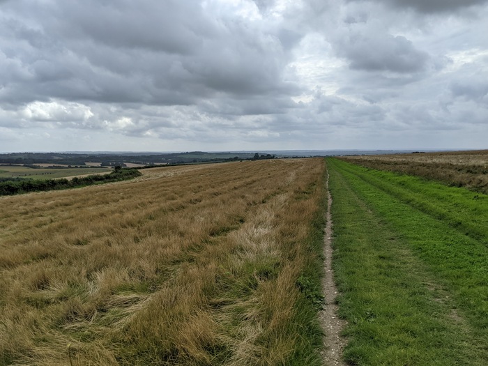
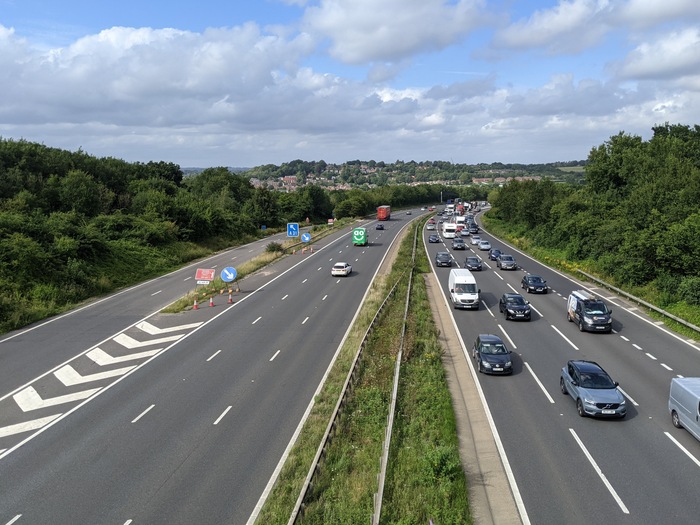
Then some very engaging gravel ups and downs on the way to Queen Elizabeth Country Park. I took the red trail’s Final Descent down, but I found it to be a disappointing mix of armoured flint and slippery chalk. I think the ground there just isn’t my thing. I stopped at the visitor centre to refill my bottles from the tap and eat some food before tackling the next climb.
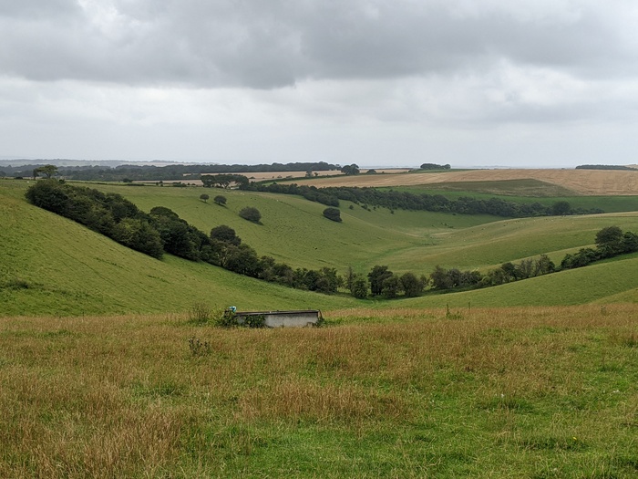
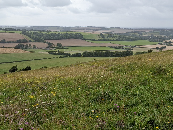
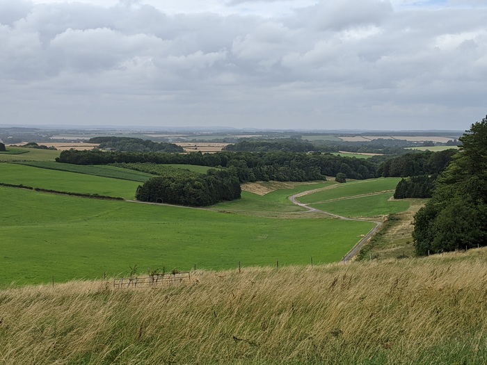
Butser Hill has a reputation that precedes it. Riding up it really wasn’t that bad though. After training for a while your perspective about what is big or difficult change. I got to the false summit at the conveniently placed gate without dabbing and then cleared the last section. From the top you can see the sea on the south coast.
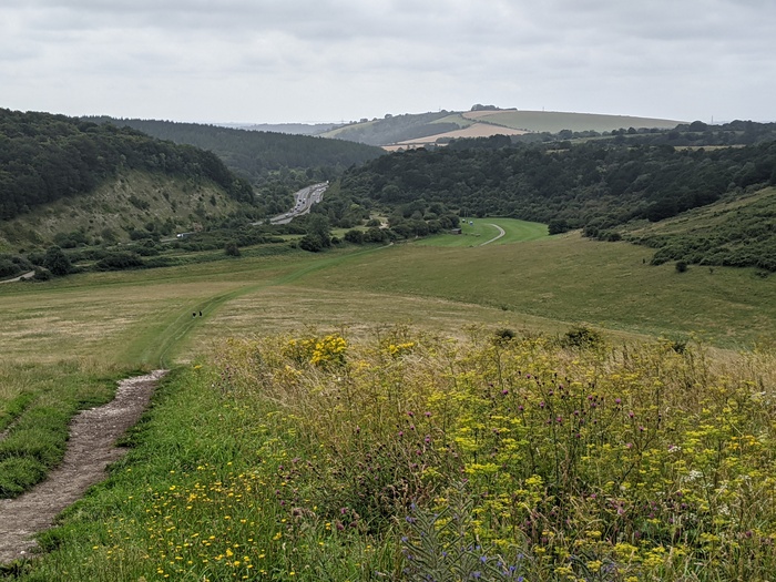
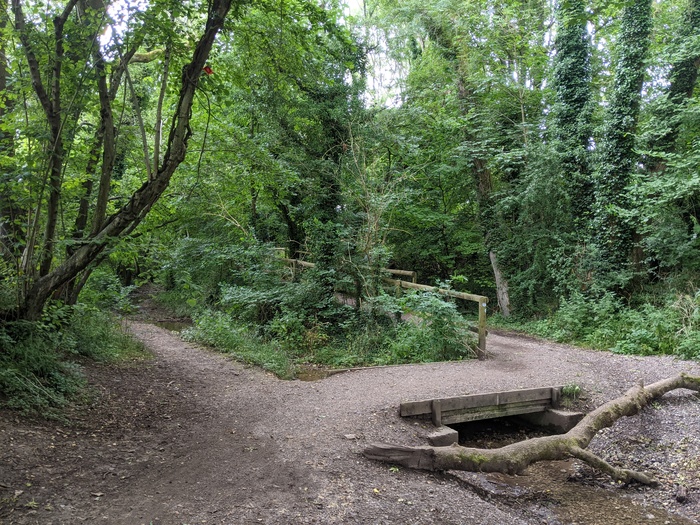
The fast and rooty descent (not pictured because I was busy riding) down to Meon Springs was beautiful.
Followed by a slow grind up Old Winchester Hill. Including this mild dilemma of high road (smooth and steep) or low road (rocky and shallow). I stopped for a very reasonably priced and tasty flat white from Alan’s Coffee Van at the top.
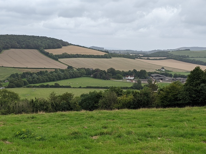
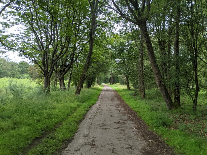
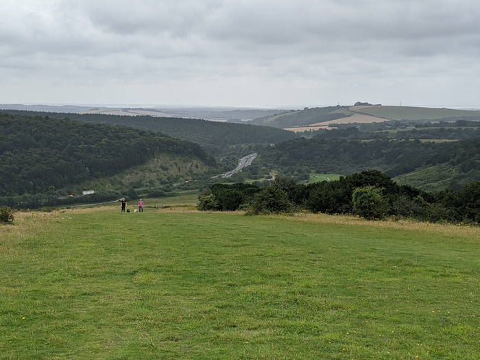
Then another beautiful descent with a few turns down to the old railway line at Exton.
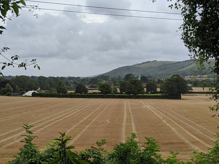
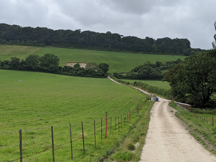
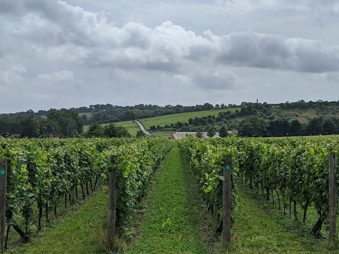
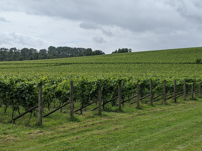
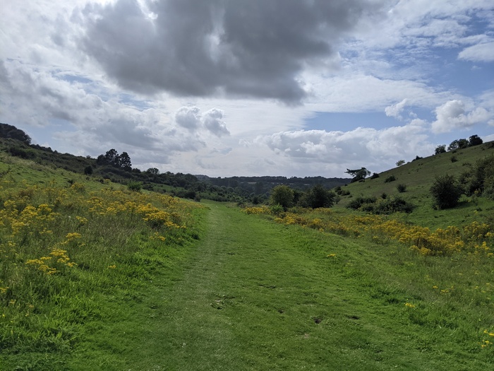
Followed by, you guessed it, a long and gentle climb up Beacon Hill. Past the vineyards of Exton Park.
![]()
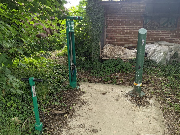
There’s a working tap at Holden Farm, though I still had plenty left over from QECP. I stopped for a break in a field nearby because I was running ahead of time. The tap at the Matterley Estate farm doesn’t look like it’s worked for a while but there are some bike tools on stands.
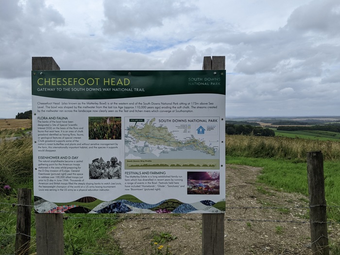
It was only while writing this that I realised that the amusingly named Cheesefoot Head is the same place known as Matterley Bowl.
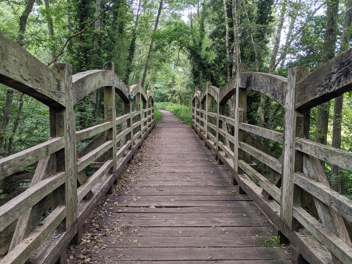
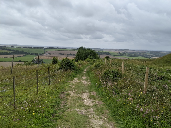
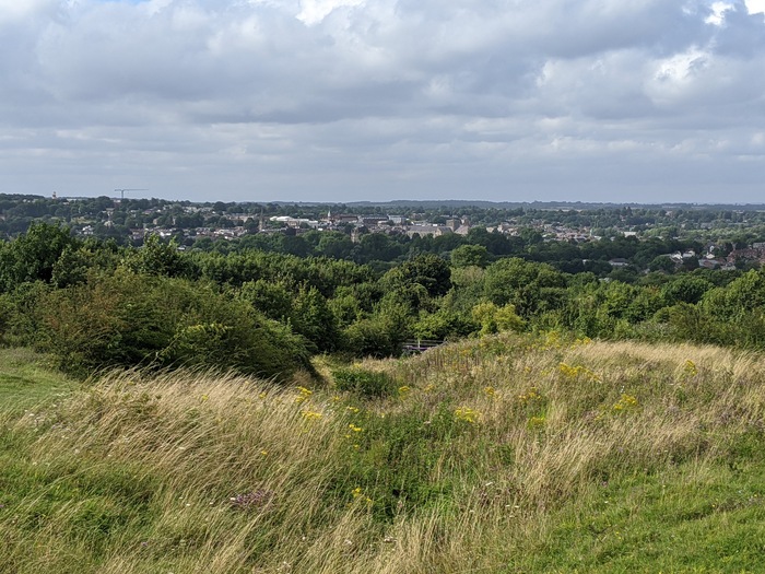
Then I began to head down into Winchester. Nearly got hit by a ball as I passed the golf course. St Catherine’s Hill nature reserve is really nice, though quite lumpy.
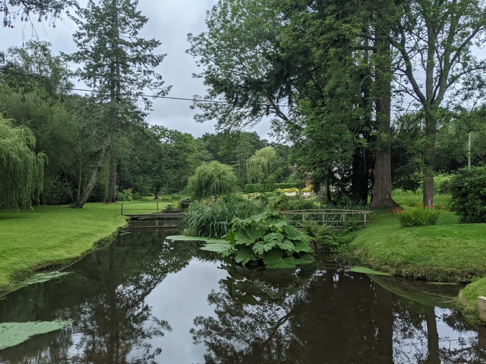
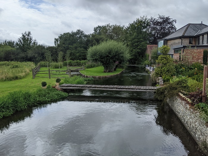
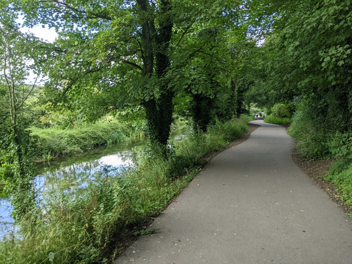
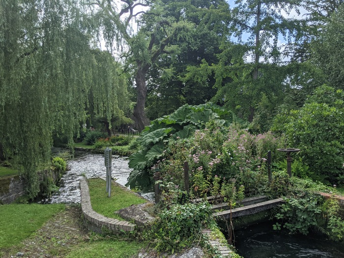
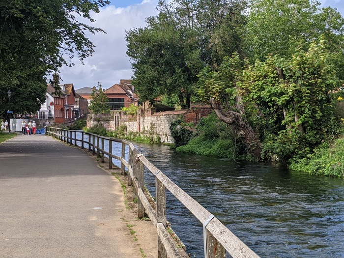
The route follows the Itchen Navigation into town, which is both crystal clear and lined with nice foliage.
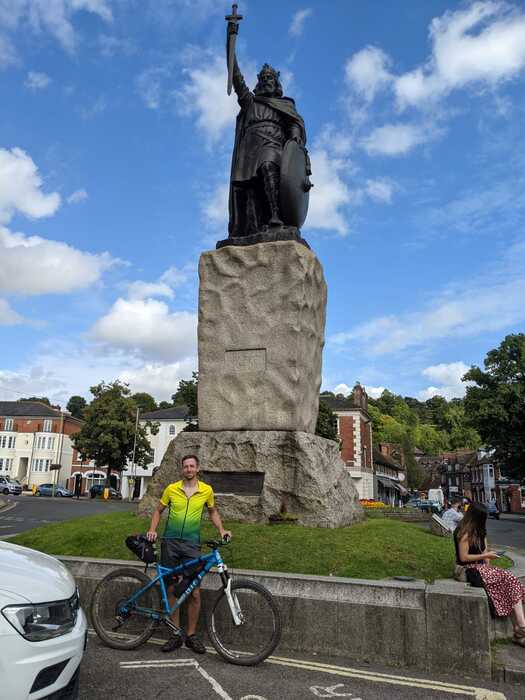
Fin! Beneath the statue of King Alfred.
The last day was a beautiful way to finish up. I was pretty sad that it was over so quickly. You can read more about my planning and reflections of the trip here.
Stats for the day:
- Distance: 52.13mi
- Elevation Gain: 4,833ft
- Moving Time: 5:29:05
- Elapsed Time: 7:43:19
- Average Speed: 9.5mi/h
- Max Speed: 32.0mi/h