King Alfred's Way: Day 3
Reading to Haslemere
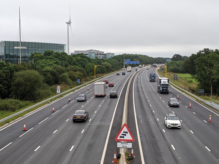
I left the hotel in the light rain, which caught me by surprise because the forecast had been good so far. The combination of the weather and slightly neglected cycle infrastructure on the way out of Reading didn’t inspire me as much as coming into Reading.
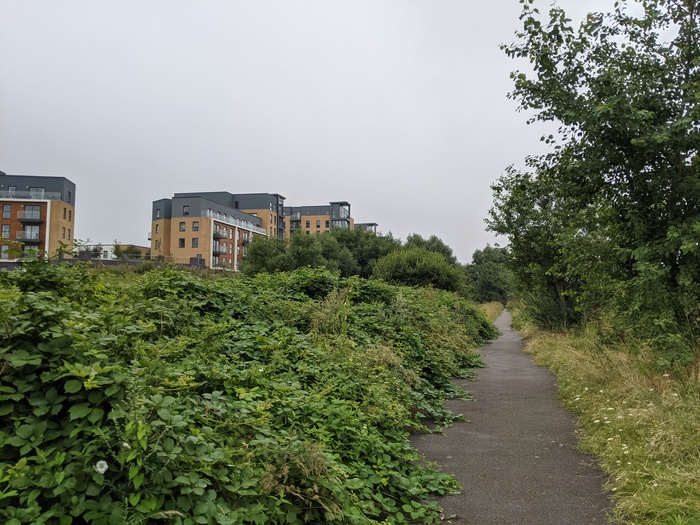
Thankfully the weather and route had improved by the time I reached the edge of Reading. I love this ebb and flow of long rides. Sometimes it can feel like things are working against you, but then suddenly everything clicks into place and you’re flying again.
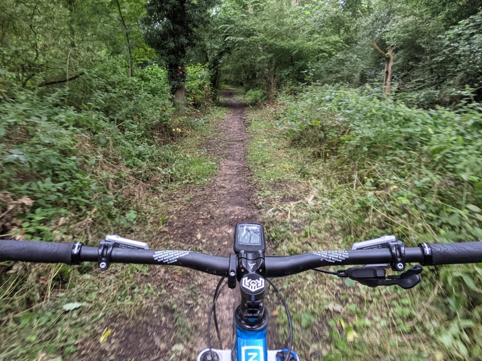
Then onto singletrack, back roads, bridleways, and woodland.
Odiham Road was the only road of the trip that I really didn’t like. Fast traffic and poor visibility around the bend would have me looking for an alternative if/when I do it again.
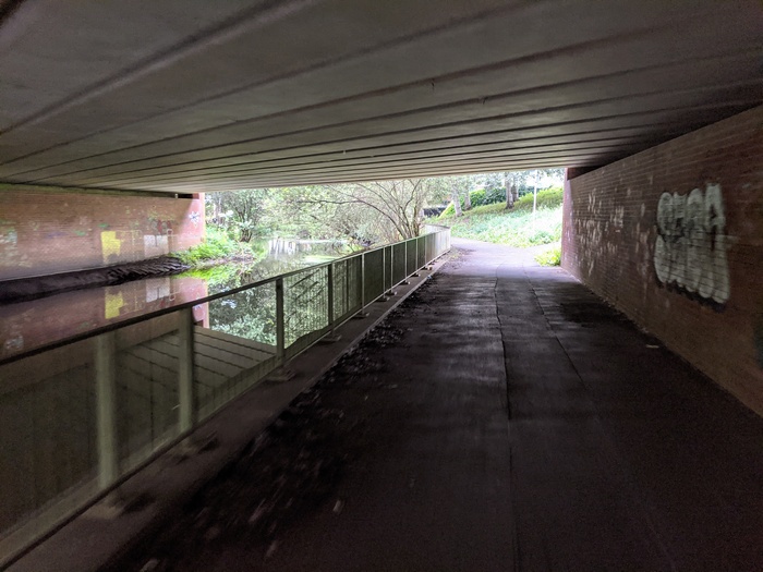
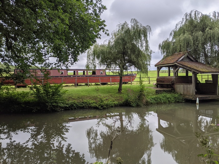
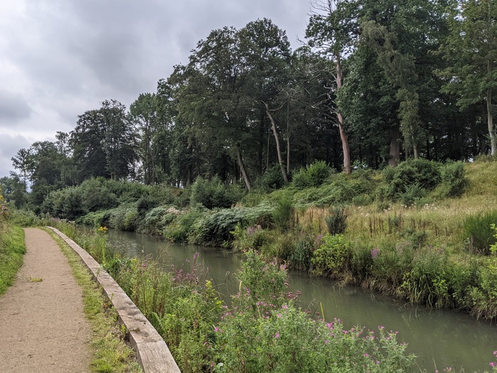
I took the Basingstoke Canal diversion at Odiham. The towpath was quiet on a week day, but (as suggested in the guidebook) it would be best avoided on weekends. Surprisingly it was also the most overgrown section of the whole route.
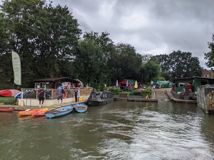
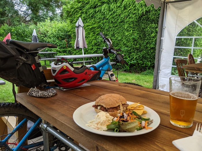
I stopped for a sausage bap, bitter shandy, and water refill at the Barley Mow in Winchfield.
Off the canal, through Church Crookham and Ewshot. The climb up to Caeser’s Camp was as steep as I expected. I squeezed in a few trails at the top while I was there. Albeit much slower than normal, with the extra weight and no dropper post. Then a fast descent down a green lane that I’ve ridden the opposite direction before into Farnham.
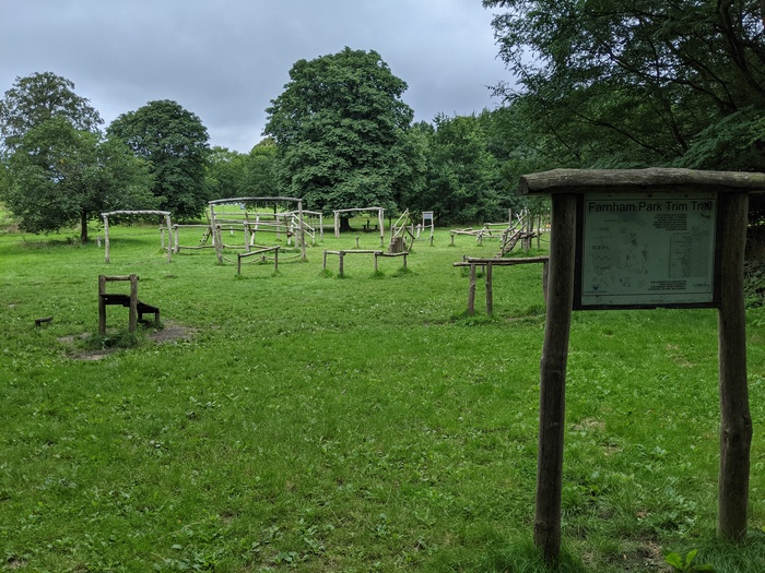
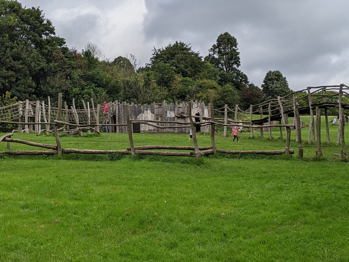
Farnham Park was a real surprise to me. I never knew there was a big park here or so much wooden play equipment.
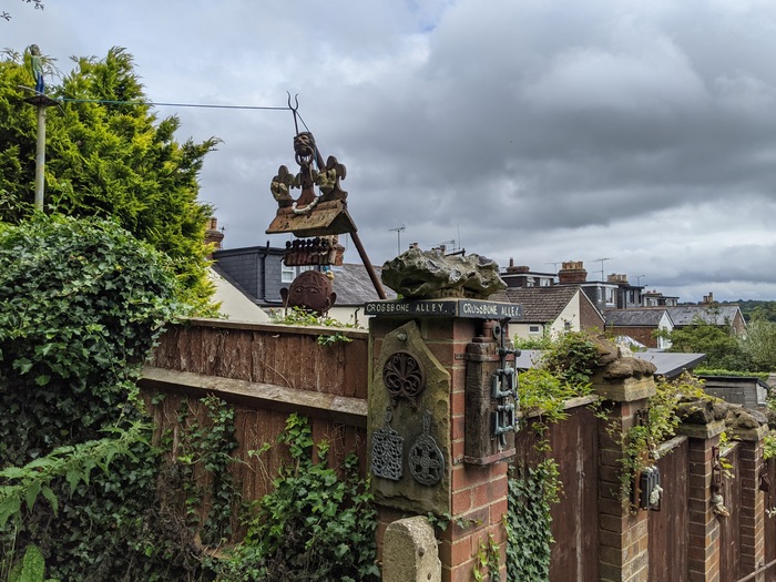
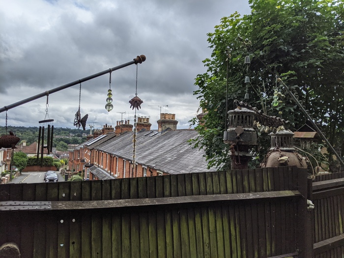
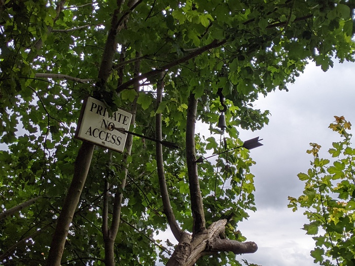
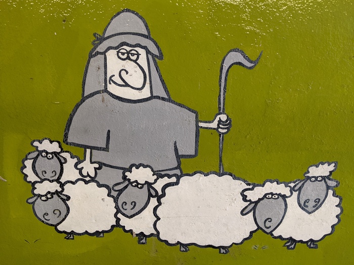
I also found this brilliant display of art from one of the houses that backs onto the park.
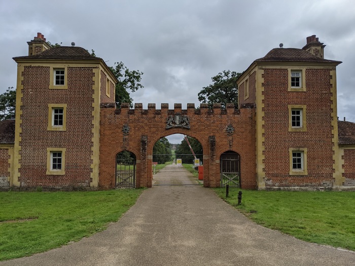
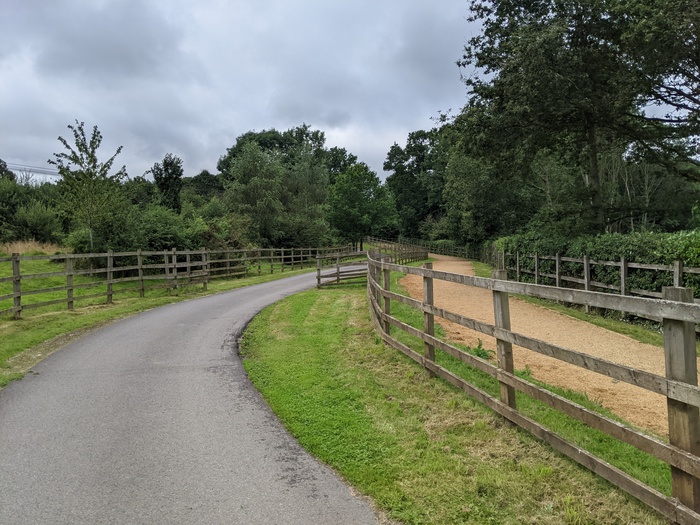
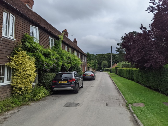
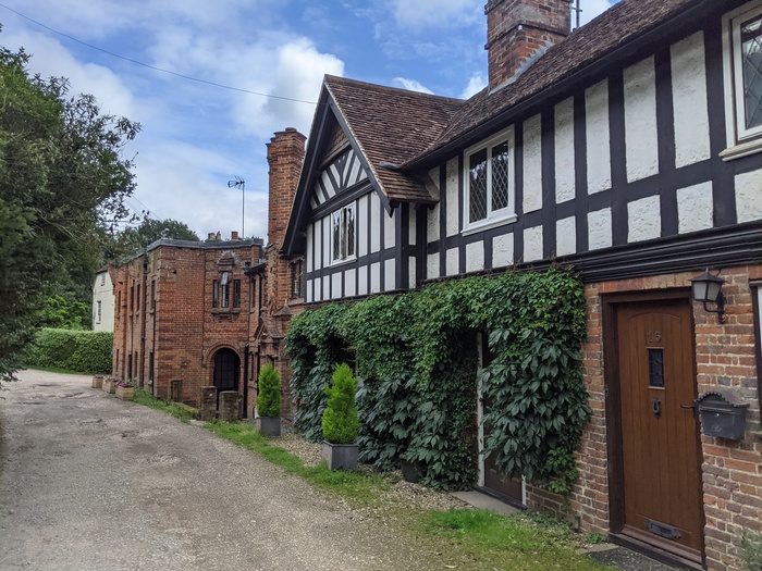
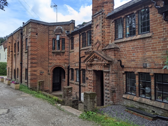
Farnham town disappears very quickly as you dip under the Shepard and Flock roundabout and out onto Moor Park Lane, past some beautiful houses.
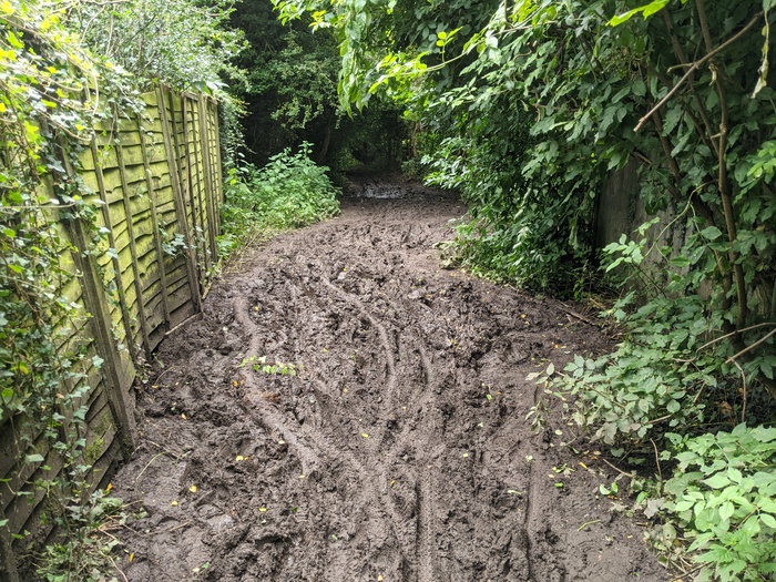
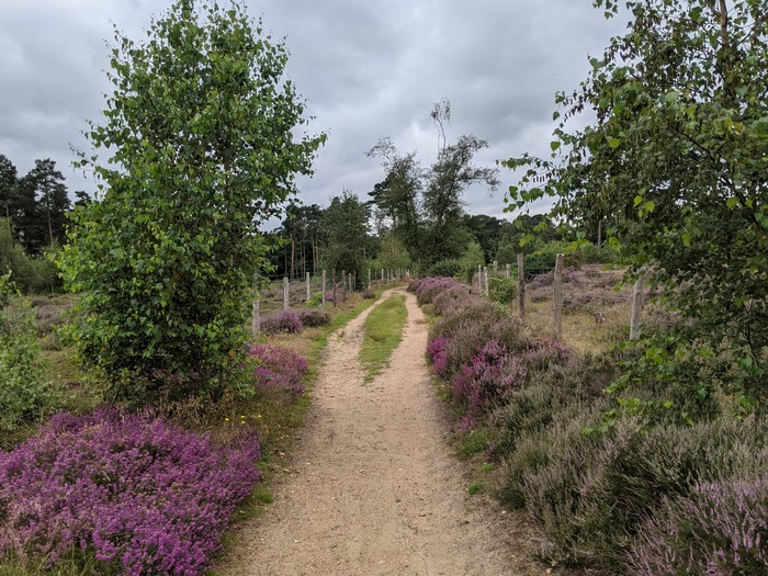
Then a sharp climb up Compton Way and past a lot of very large houses. A short section of mud that required dismounting, followed by some lovely heath land and a bridge that looks like an optical illusion every time I see a photo of it.
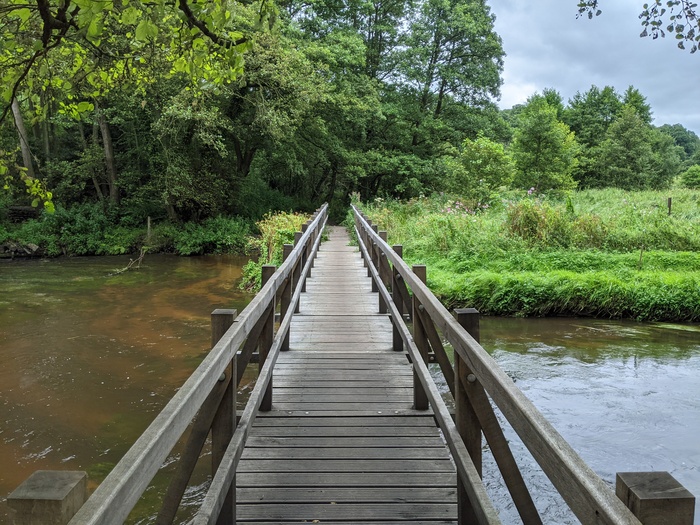
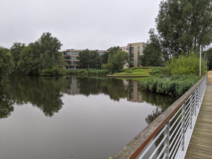
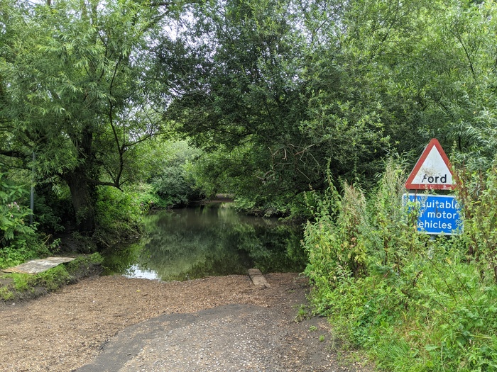
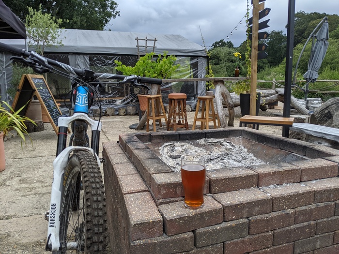
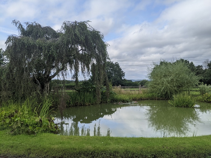
I stopped by the river for some food and drink but there wasn’t anywhere comfortable to sit. Just before the bridge I’d noticed a sign that said the Craft Brews were open, which was surprising because I only expected them to be open at the weekend. So I figured it’d be rude not to go back and have a pint.
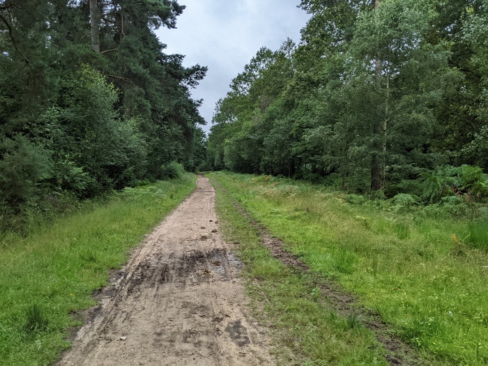
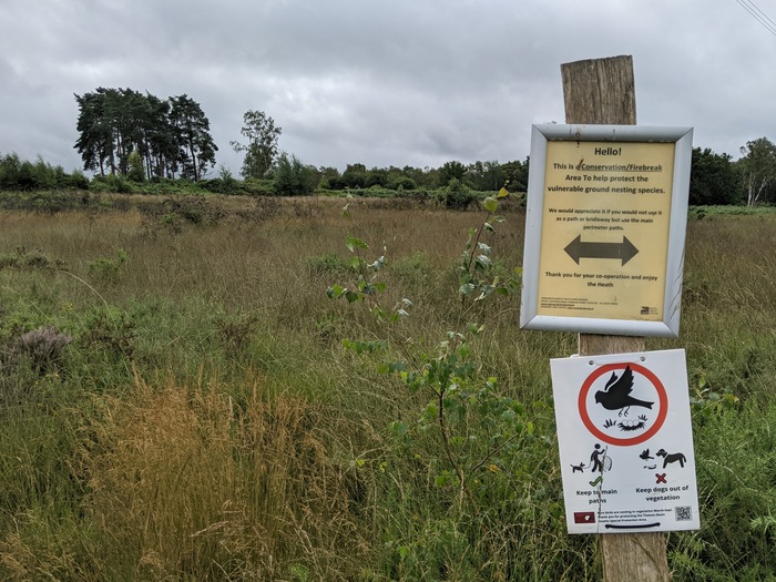
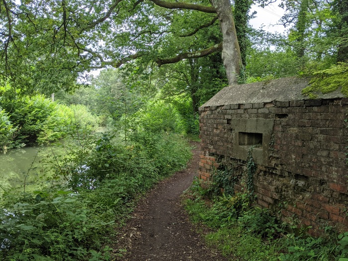
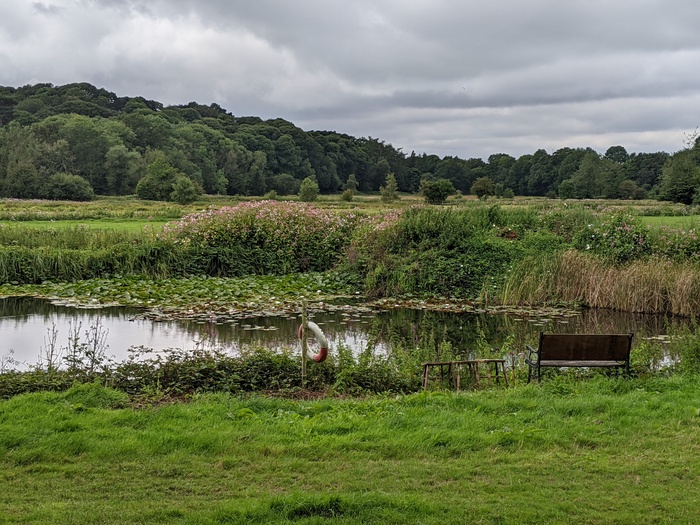
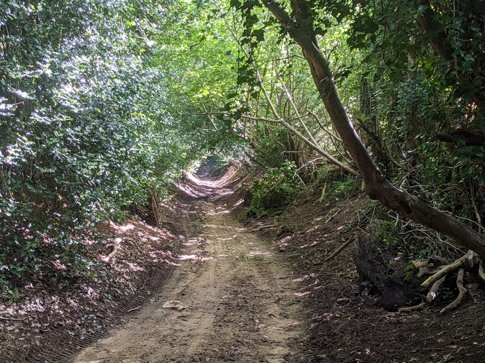
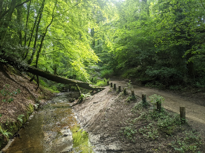
Afterwards I took a detour at Frensham Little Pond to avoid the sand. I know the area well and how effective the sand is at eating drivechains. However if you’ve never visited the ridges at Frensham Common and Hankley Common, or seen the Atlantic Wall, then you definitely shouldn’t skip them. I took some lanes and a brook instead.
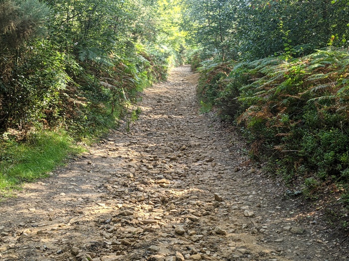
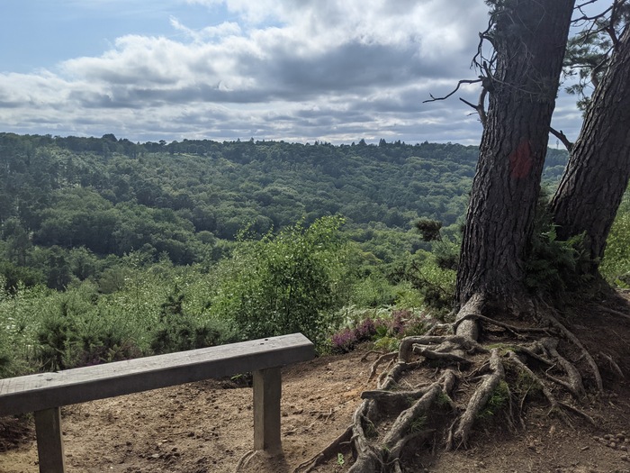
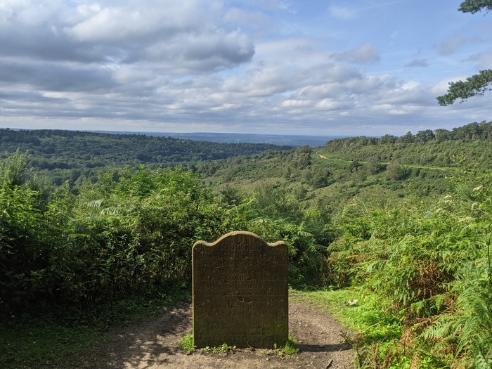
I hadn’t been looking forward to the rocky technical climb up to the Devil’s Punchbowl. It turns out that having that second pint was a bit of a tactical error.
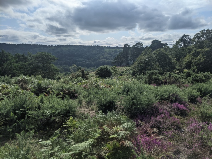
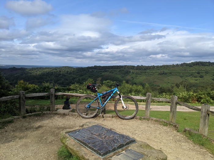
The views at the top are great though. It’s bizarre to think that a busy road used to run through the middle.
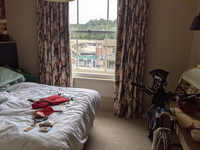
I stayed the evening at Harpers at Haslemere. It was a bit of a deviation and elevation gain from the official route, which played on my mind as I took the fast descent down into town, but the hotel was really nice and very accommodating. There are supermarkets a short walk away for restocking. My wife and kids joined me for dinner at the steak house but didn’t stay the night this time.
The third day wasn’t as exciting as the previous days, probably because of the combination of flatter and familiar terrain. It wasn’t bad though and I’d totally do it again in order to have a circular route. I also felt like I had to save a little in the tank for the South Downs Way which would be much less flat.
Stats for the day:
- Distance: 50.19mi
- Elevation Gain: 2,759ft
- Moving Time: 4:58:02
- Elapsed Time: 7:35:56
- Average Speed: 10.1mi/h
- Max Speed: 40.7mi/h